Price: Tier1 $975 - Tier2 $1,450 - Tier3 $2,250 per project - Scope of Work - For engineering firms, utilities, and advanced site planning.
U.A.I.R. will perform a drone-based aerial 2D/3D operation of your project, starting at 25,000 square feet of coverage. This 3 tiered service provides the base deliverables at a fair fixed flat rate. For projects larger than 25,000 sq. ft., pricing adjusts to the next tier threshold (25,001 - 50,000 sq. ft. and 50,001 - 100,000 sq. ft.)
This ensures clients pay a fair flat rate that reflects the actual site size, flight time, and data processing required—rather than a one-size-fits-all price. Projects exceeding 100,000 sq. ft. will be quoted on a scope of work basis, taking into account site size, complexity, regulatory factors, and data volume.
U.A.I.R. guarantees accurate, high-resolution 2D orthomosaic maps and fully interactive drone based 3D models within the specified turnaround times, tailored to each site’s scale.
U.A.I.R. Drone 2D & 3D Mapping Packages
Package Inclusions ( 3 Tiers)
2D Orthomosaic Map (high-resolution, stitched aerial imagery)
3D Interactive Model (rotate, zoom, explore virtually)
Measurement Tools (distance, perimeter, area, volume)
Standard Export Formats (JPEG, PDF, OBJ, LAS, PLY)
Online Viewer Link (no special software required)
“Optional Upgrade: Digital Elevation/Surface Model for topographic insights”
Tiered Pricing
📍 Starting point: flat-rate base pricing
Tier1 - $975 — Base Mapping (5,000 sq. ft. up to 25,000 sq ft, $975 cap)
Coverage: 5,000 sq. ft. Up to 25,000 sq. ft. (e.g., small construction site, retail property, parking lot)
Deliverables:
High-resolution 2D orthomosaic map (stitched aerial imagery, true-to-scale).
Interactive 3D textured site model (rotate, zoom, explore virtually).
20–40 still aerial images (JPEGs) captured at multiple angles.
Measurement tools enabled for distance, area, and perimeter.
Standard export files: JPEG, PDF (maps), OBJ/PLY (3D model).
Online viewer delivery (no special software needed).
Turnaround: 3–5 business days
Tier2 - $1,450 — Extended Site (25,001–50,000 sq ft, $1,450 cap)
Coverage: 25,001–50,000 sq. ft. (e.g., larger construction site, commercial complex, warehouse facility)
Deliverables:
High-resolution 2D orthomosaic map covering the full site.
Interactive 3D model with higher density of capture points for added detail.
50–80 still aerial images (JPEGs) for documentation and progress reports.
Measurement tools: distance, perimeter, area, plus volume measurements (stockpiles, earthwork).
Annotated map with labeled site features (boundaries, staging areas, structures).
Standard export files: JPEG, PDF (maps), OBJ/PLY/LAS (models & point clouds).
Online viewer link with measurement and annotation sharing enabled.
Turnaround: 4–7 business days
Tier3 - $2,250 — Large Site (50,001 - 100,000 sq ft, $2,250 cap - sizes 100,001 and bigger, custom quote).
Coverage: 50,001–100,000 sq. ft. (e.g., multi-structure developments, industrial yards, solar farms)
Deliverables:
High-resolution 2D orthomosaic map with optional ground control for survey-grade accuracy.
Full 3D site model with maximum capture density for engineering-level detail.
100+ still aerial images (JPEGs) for comprehensive documentation.
Complete measurement suite: distance, perimeter, area, volume analysis with cut/fill calculations (earthmoving, excavation tracking).
Digital surface/elevation models (DSM/DEM) included.
Annotated map and summary report highlighting site features and measurements.
All standard export files: JPEG, PDF, OBJ, PLY, LAS, CSV.
Optional baseline dataset for future trend monitoring (sets up long-term inspection program).
Online viewer link with full collaboration tools (measurements, annotations, data sharing).
Turnaround: 5–9 business days
Optional Add-Ons
Digital Elevation/Surface Models (DEM/DSM): +$285
Thermal Overlay Mapping: +$385
Rush Processing (24–48 hrs): +$500
Monthly/Quarterly Monitoring Packages: Custom Quote
“Limited Time Special Deal! Book 3 aerial job site visits for a 22% discount and get the 4th drone site visit at 30% off (applies to all services). “Discount only applies upon request!” Use code “BOOK-3” in contact us aerial project detail information submitted. Multiple site visits and cost can be tailored per a specifically drafted agreement.”
“Professional Drone 2D/3D Imaging Support. Request a free quote through check out. Just click on request a free quote. Fill out form type of service. Enter contact information only, proceed to checkout, and submit. Thank you for your business.”
“TO REQUEST A FREE QUOTE: CLICK ON (REQUEST A FREE QUOTE) BOTTON BELOW: FILL OUT THE SERVICE AGREEMENT FORM & CONTINUE: PROCEED TO YOUR SHOPPING CART TO LOCATE YOUR FREE QUOTE REQUEST FORM: ENTER CONTACT INFO & SUBMIT —
THERE IS ZERO CHARGE OR RISK!”
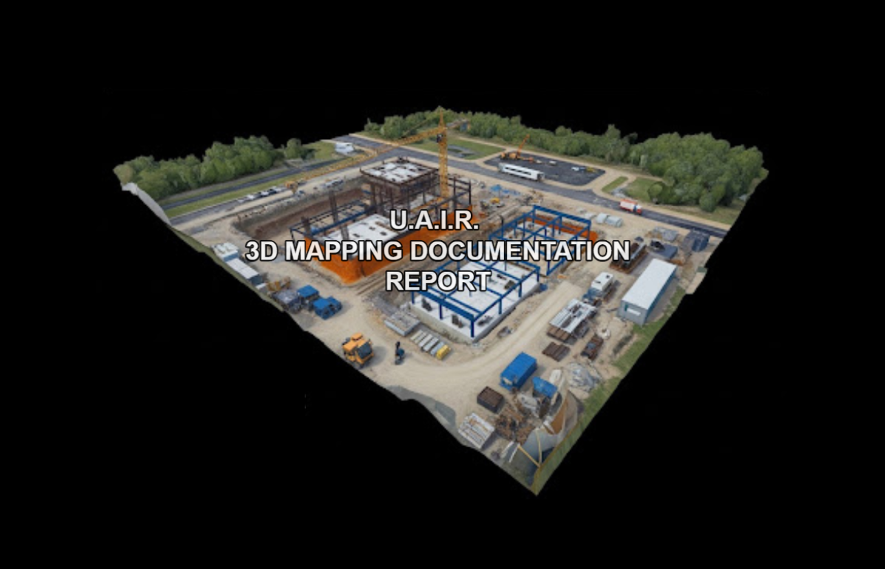 Image 1 of 16
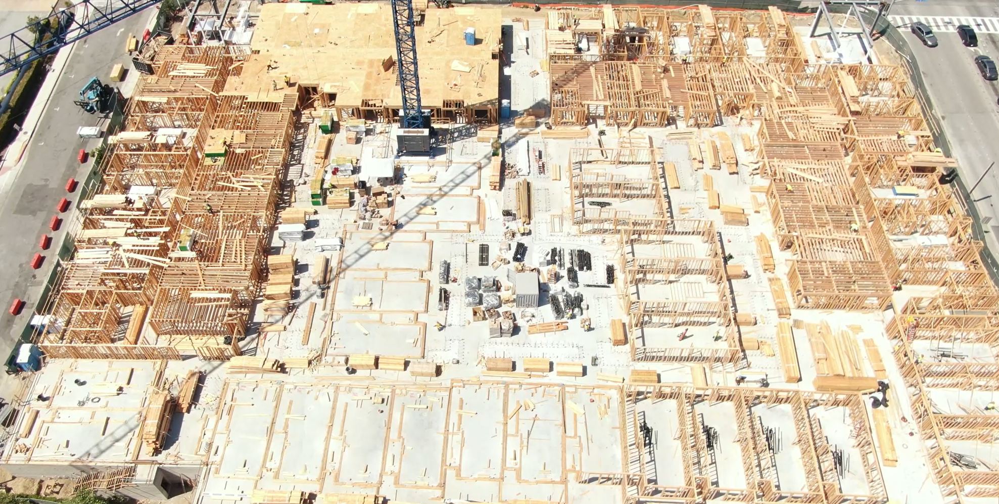 Image 2 of 16
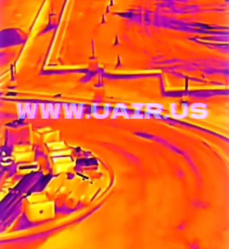 Image 3 of 16
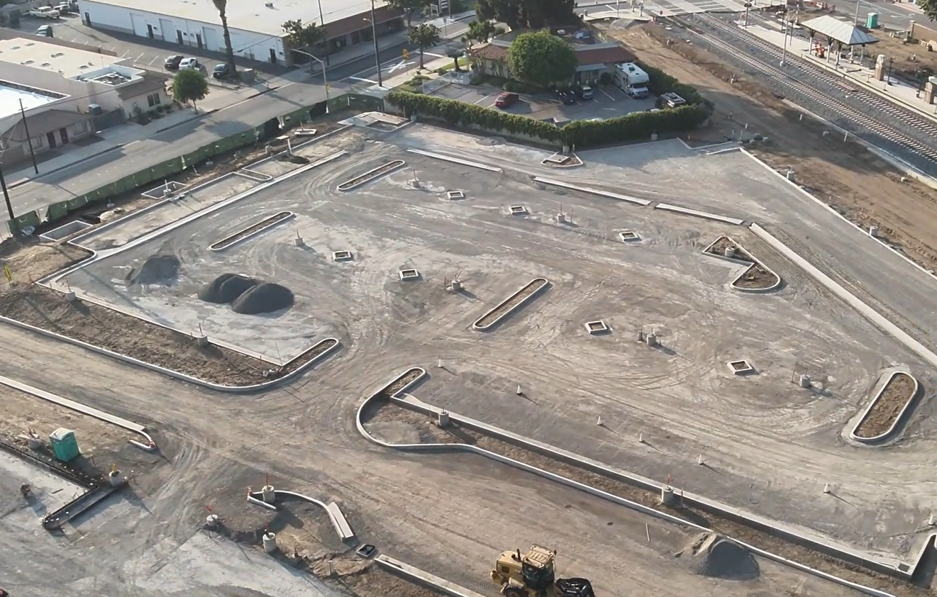 Image 4 of 16
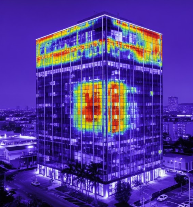 Image 5 of 16
 Image 6 of 16
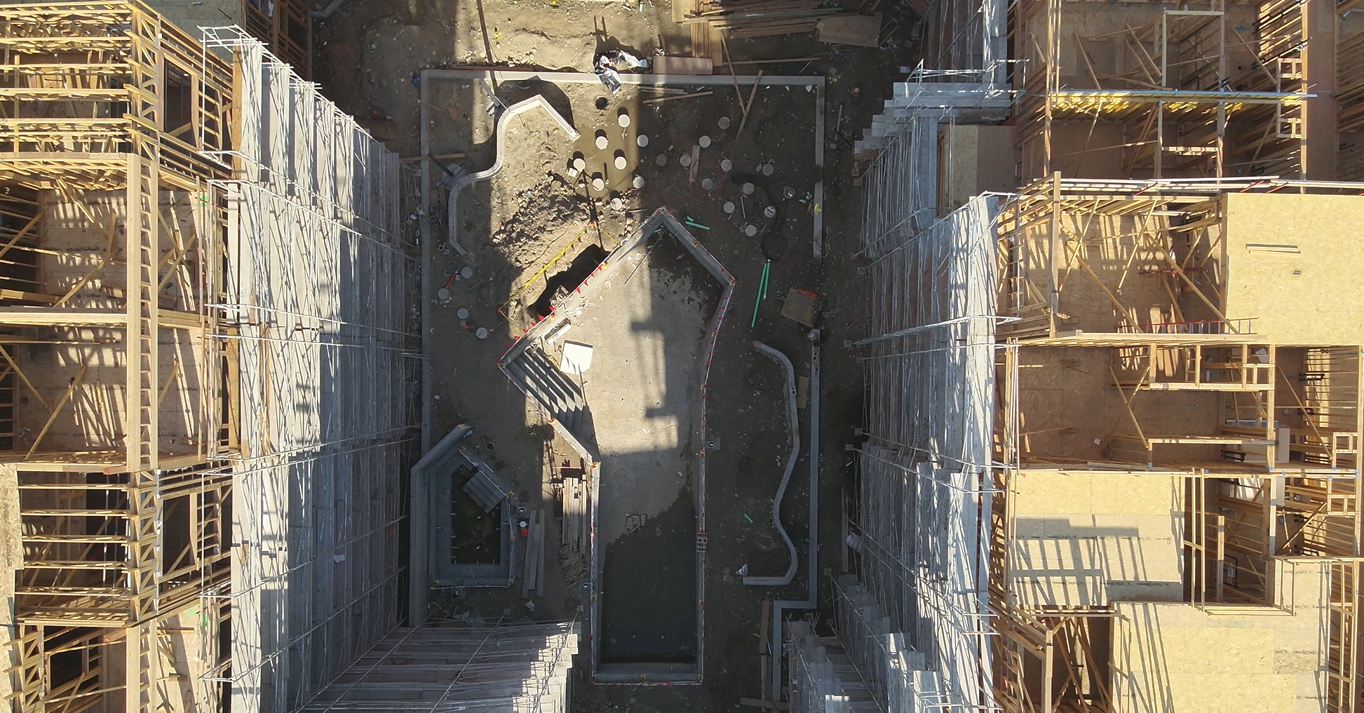 Image 7 of 16
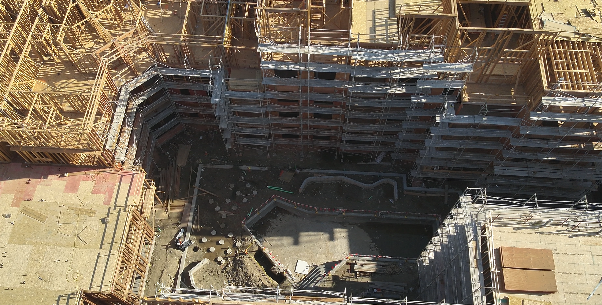 Image 8 of 16
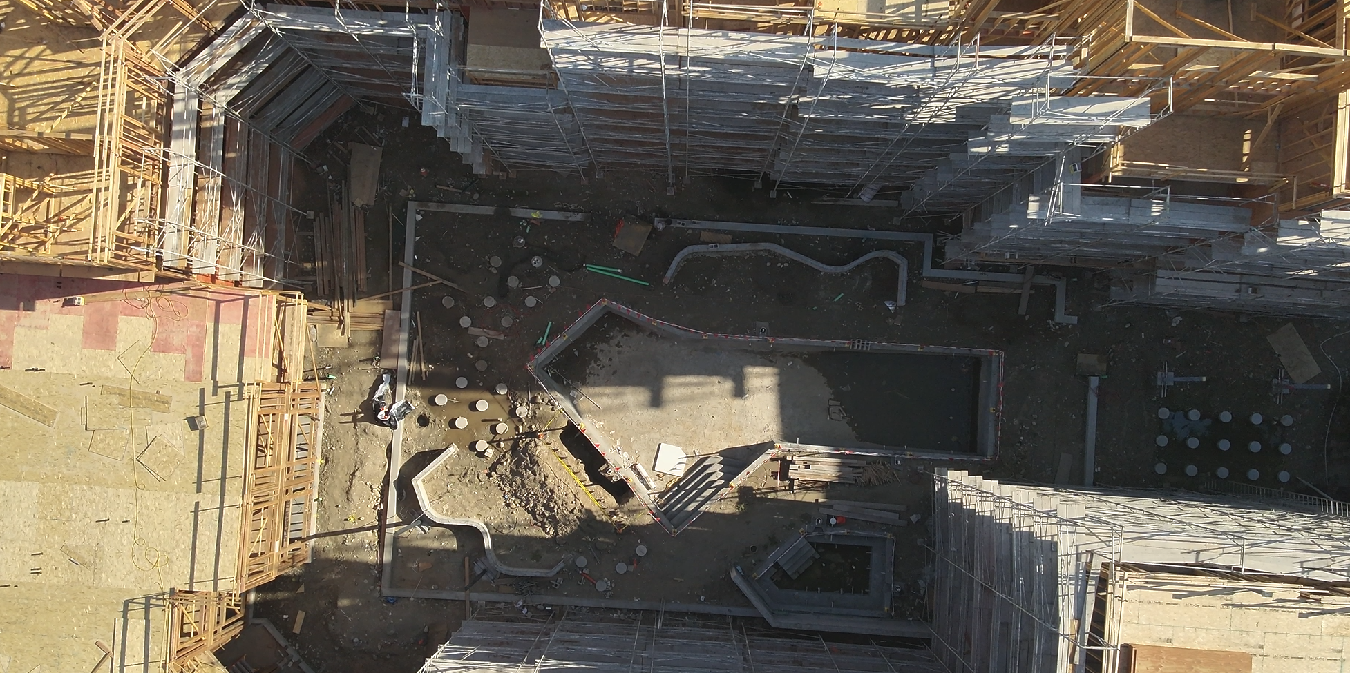 Image 9 of 16
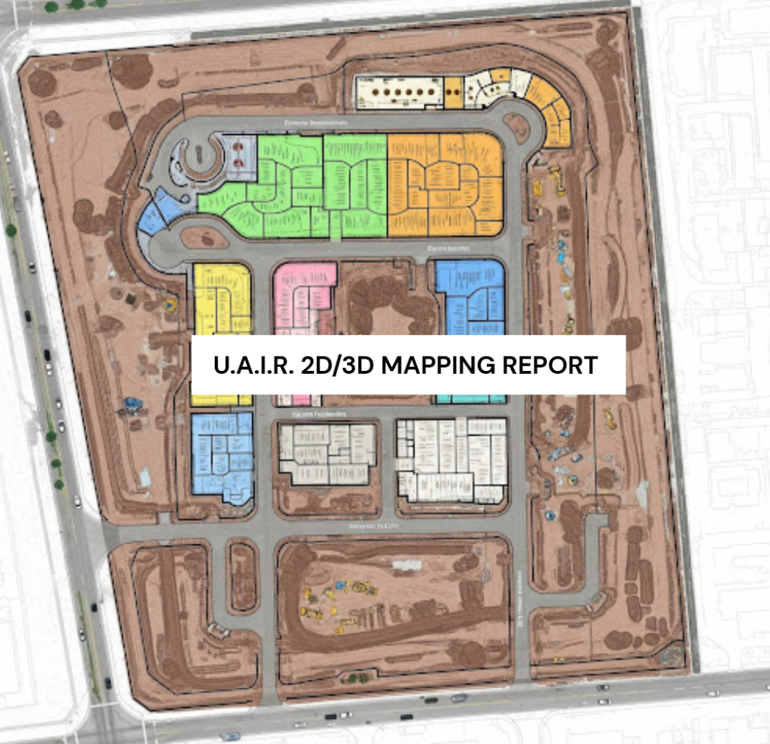 Image 10 of 16
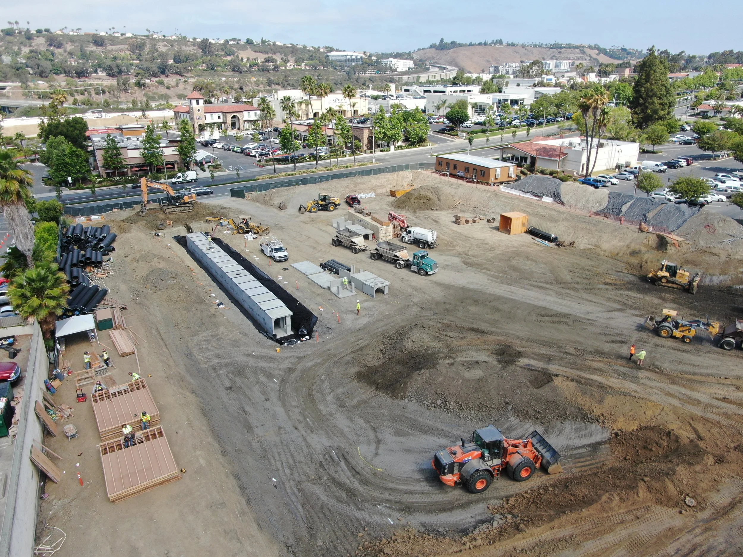 Image 11 of 16
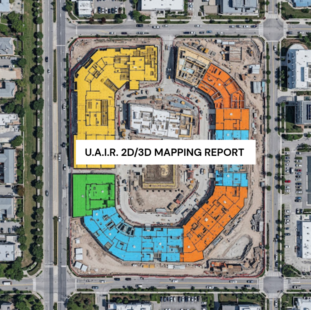 Image 12 of 16
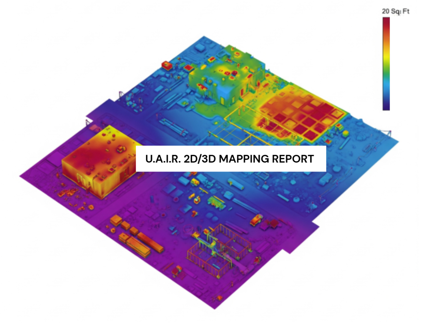 Image 13 of 16
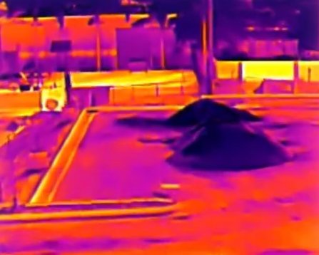 Image 14 of 16
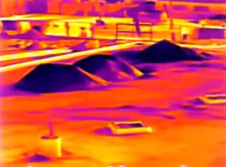 Image 15 of 16
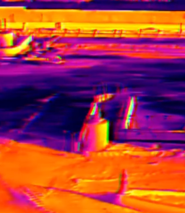 Image 16 of 16