Who we are

About U.A.I.R. Unmanned Aerial Imaging Resources LLC.
At U.A.I.R. (Unmanned Aerial Imaging Resources LLC), we believe drone technology is more than capturing impressive aerial imagery, it’s about delivering accurate data, improving safety, and helping our clients make informed decisions with confidence.
Founded by Ricardo Sandoval, U.A.I.R. was built on more than two decades of hands-on construction, telecommunications, and infrastructure experience. Ricardo began his career working from the ground up as a construction laborer before advancing into roles as a lineman, telecommunications professional, cell tower technician, and foreman. That real-world experience provides a practical understanding of how structures are built, maintained, and inspected, knowledge that cannot be learned by flying a drone alone.
Today, Ricardo combines that field experience with advanced aerial technology as an FAA Part 107 Certified Remote Pilot and a Certified Level I Infrared Thermographer. His background allows him to recognize conditions that others may overlook, interpret thermal anomalies accurately, and capture data that supports maintenance planning, property documentation, engineering evaluations, construction progress, and infrastructure inspections.
Why U.A.I.R. Was Founded
In 2019, while working as a cell tower technician, Ricardo experienced a tragedy that forever changed his perspective. A fellow technician fell from a 90-foot cell tower while performing routine work and lost his life.
That moment became the inspiration behind U.A.I.R.
It reinforced a simple but powerful belief: many inspections can be performed more safely and efficiently without placing workers in hazardous environments. Instead of requiring personnel to climb towers, rooftops, elevated structures, or difficult terrain, drones can often collect the same critical information while significantly reducing risk.
Since that day, Ricardo has dedicated himself to mastering unmanned aircraft systems, aerial data collection, thermal imaging, mapping technologies, and industry best practices to help organizations inspect assets more safely and efficiently.
More Than a Drone Company
Many drone operators know how to fly a drone. At U.A.I.R., we understand the environments we’re capturing, or inspect.
Our experience in business marketing, construction and infrastructure allows us to communicate effectively with business owners, contractors, engineers, utility providers, facility managers, property owners, and project teams. We understand the importance of safety, marketing, documentation, accuracy, and delivering information that clients can actually use, not simply providing photographs from the air.
Every mission is carefully planned and conducted in accordance with FAA regulations and industry best practices. Safety, professionalism, and attention to detail guide every project we undertake.
What We Deliver
U.A.I.R. provides professional aerial imaging and inspection services throughout Southern California and surrounding regions, supporting commercial, industrial, utility, construction, agricultural, insurance, special event capture, and real estate clients.
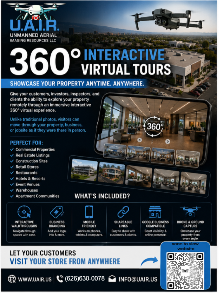
Beyond inspections and aerial data collection, U.A.I.R. helps businesses and or project teams strengthen their brand and showcase their properties, events, business, through professional aerial photography, cinematic videography, FPV fly-throughs, and interactive 360° virtual tours. We provide complete media solutions designed to support business marketing, property promotion, and digital engagement. From capturing high-quality visual content to hosting immersive 360° virtual tours that can be embedded directly into your website, Google Business Profile, MLS listings, or shared across social media platforms, we help businesses create a professional online presence that attracts customers, builds credibility, and sets them apart from the competition.
Our services include:
High-resolution any event aerial photography and videography capture
FAA-compliant drone inspections
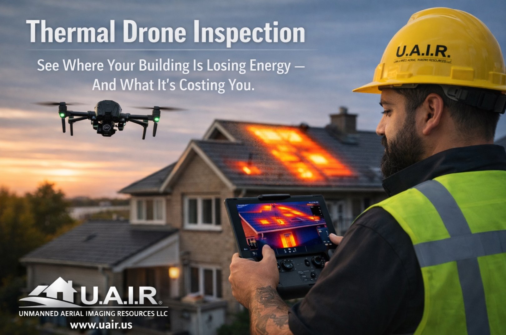
Infrared thermal imaging and thermal analysis
Roof inspections
Construction progress documentation
Utility and infrastructure inspections
Cell tower and telecommunications asset inspections
Orthomosaic mapping
2D and 3D mapping
Digital surface models and terrain mapping
Aerial Asset documentation
Disaster assessment
Search and recovery support
Marketing media and promotional content
FPV and cinematic aerial video
Our deliverables include high-resolution imagery, infrared thermal reports, orthomosaic maps, 3D models, 360 virtual tours, point clouds, digital elevation scans, annotated inspection reports, progress documentation, and GIS-compatible datasets, providing clients with actionable information that supports planning, maintenance, compliance, and informed decision-making.
A Family-Owned Company You Can Trust
As a small, family-owned business, every client receives our full attention. We aren’t driven by corporate quotas or sales targets, we’re focused on building long-term relationships through dependable service, clear communication, and quality results.
When you work with U.A.I.R., you’re working directly with experienced professionals who understand business marketing, construction, infrastructure, inspection, and safe FAA UAS aviation. Every project is approached with integrity, accountability, and a commitment to exceeding expectations.
Our Mission
Our mission is simple:
To provide safe, accurate, and professional aerial imaging, mapping, and infrared thermal inspection services that help our clients reduce risk, improve efficiency, protect valuable assets, and make informed decisions with confidence.
At U.A.I.R. Unmanned Aerial Imaging Resources LLC, we don’t just operate drones, we deliver reliable data, actionable insights, and professional solutions that help build safer, smarter, and stronger projects for tomorrow.
TO REQUEST A FREE QUOTE: CLICK ON THE SERVICE THAT YOUR MOST INTERESTED IN: FILL OUT THE SERVICE AGREEMENT FORM & CONTINUE: PROCEED TO YOUR SHOPPING CART TO LOCATE YOUR FREE QUOTE REQUEST FORM: ENTER CONTACT INFO & SUBMIT — THERE IS ZERO CHARGE OR RISK!

Contact us
Interested in working together? Fill out some info, include as much detail as you can about your aerial drone aspiration, and we will be in touch shortly. We can’t wait to hear from you!